The area called Satan's Kingdom is located just south of Vermont in the northwest part of Northfield, MA, between Interstate 91 and the Connecticut River. I first became aware of it about ten years or so ago while perusing a USGS map of far southwestern NH with a co-worker at the NH Natural Heritage Program. The name immediately leapt out at us, as did the crazy patterning of the topography of part of the area. I'm sure there's a neat story behind the geology, and a "that makes sense" story behind the name.

Satan's Kingdom on a USGS topo map (CT River on right)
Fast forward to two years ago when I was researching good trail sites to include in Trail Running Western Massachusetts. The area certainly came to mind as a possibility since much of it is state-owned and it seems like a place where there should be good trails to run on. I ruled it out as a profile site pretty quickly, however, because I couldn't find any evidence of public trails or access or parking there.
Fast forward again to a few weeks ago. I've been living just south of the area since last fall, and recently found a map for a recommended 3-mile hiking trail there posted on the Town of Northfield's website. Well, I can't report that the map offered there is as useful as it might be. It shows a suggested lollipop route but doesn't show any topography or any of the connecting side trails or spur paths, etc., which makes it very challenging to use in the field. That said, it got me out there exploring and mapping on my own, and for that I am very grateful.

singletrack section of trail along an upland "bench" in Satan's Kingdom
Starting from a parking area with room for 10 or so vehicles just off Old Vernon Rd, the way in is through the closed metal gate and down a wide dirt road. After passing a small wetland, the road quickly begins a steep ascent to a junction with a snowmobile trail network leading off to the left. The road veers right and levels off, then undulates for a bit as it heads northwest into the property just uphill from West Wait Brook. There are several more junctions on the left, and soon you pass through some partially open areas and cut-over areas. The grass in these spots was about ankle-high when I went, but I would imagine it gets taller in summer.
After ascending through the first open area, the trail splits with one fork going sharply left up the hill towards an old cabin, and the the other leading more or less straight along a somewhat overgrown route. From here you can either go left for the 3-mile lollipop option or straight for the 4+-mile lollipop loop option (keep taking lefts if you choose this second way). Both routes will/can bring you up to to a forested "bench" along the hillside. A pleasant singletrack path leads north along the bench, and a short spur path to the left brings you to a partial view southeast out over a cut-over area to the mountains on the eastern side of the valley.
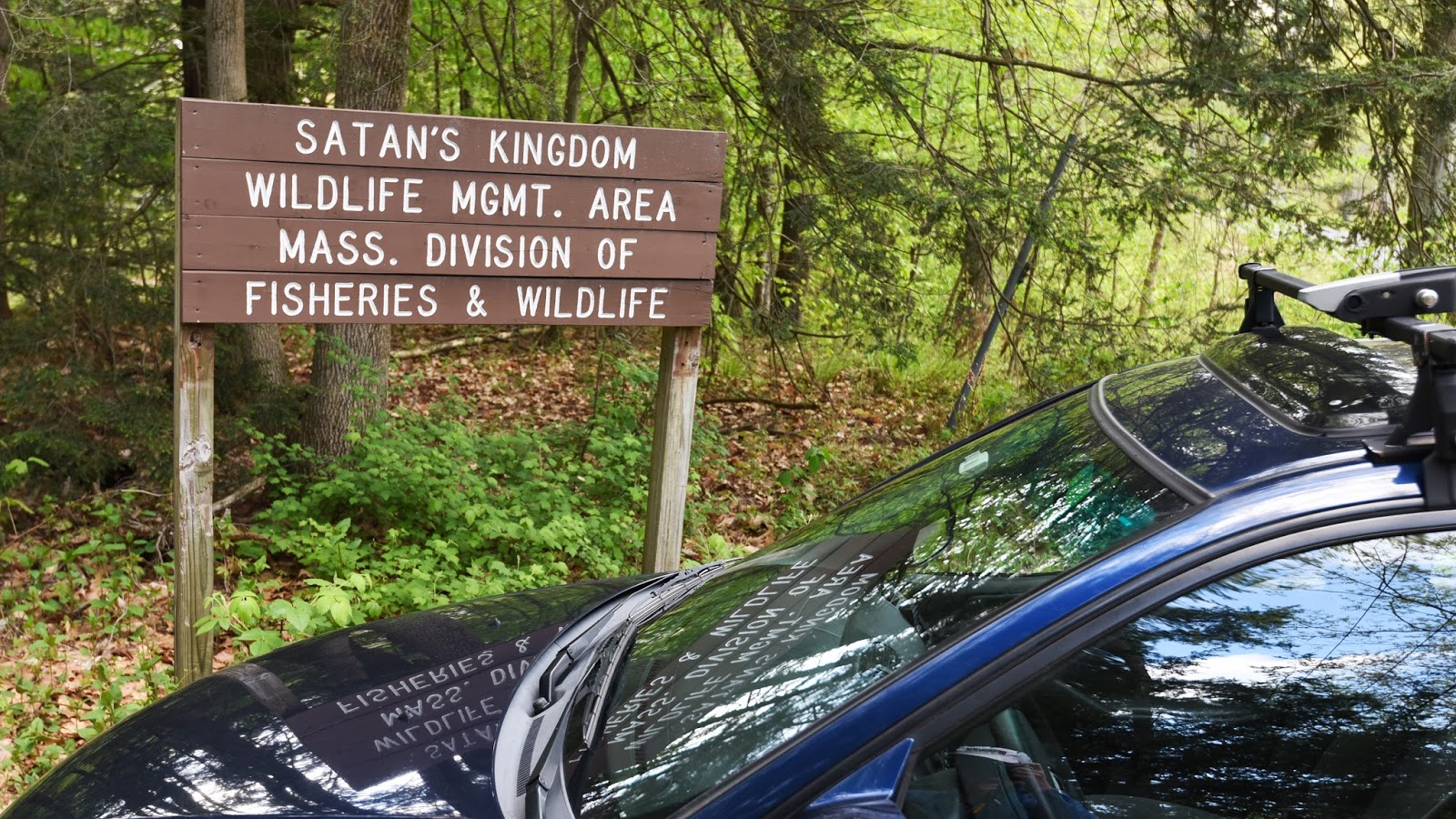
Land ownership there appears to be as complicated as the topography, but much of it seems to be either a WMA or Northfield State Forest. I did not explore on any non-public properties, though I didn't see any No Trespassing signs either. Hunting is both allowed and popular here, so be sure to be aware and wear bright orange during hunting season(s).
Here is a map and photos of the routes I've explored at Satan's Kingdom:

entrance to Satan's Kingdom (the parking area is in a bit from the road)

ascending the access road at Satan's Kingdom

access road at Satan's Kingdom

the dilapidated old cabin along the old road in Satan's Kingdom

singletrack trail in Satan's Kingdom

singletrack trail in Satan's Kingdom

singletrack trail in Satan's Kingdom

doubletrack trail in Satan's Kingdom

the partial view southeast across the CT River Valley to mountains above Northfield, MA
In the end, there's nothing particularly hellish about this part of Satan's Kingdom, though I can imagine the mosquitoes, blackflies, and deerflies all getting pretty bad at times. Worth a visit sometime, and hikers and trail runners alike can make challenging 3-ish or 4-ish mile lollipop loops out of it.
No comments:
Post a Comment